What's included
- Residential lots, acreage tracts, commercial pads and agricultural land
- Selective clearing through to full grub-and-grade
- Mulch in place, windrow, or haul off — priced as separate choices
- Georgia requires a land disturbance permit once you disturb 1.0 acre
- A 25-foot buffer applies along state waters unless EPD grants a variance
What "cleared" actually means — four different jobs
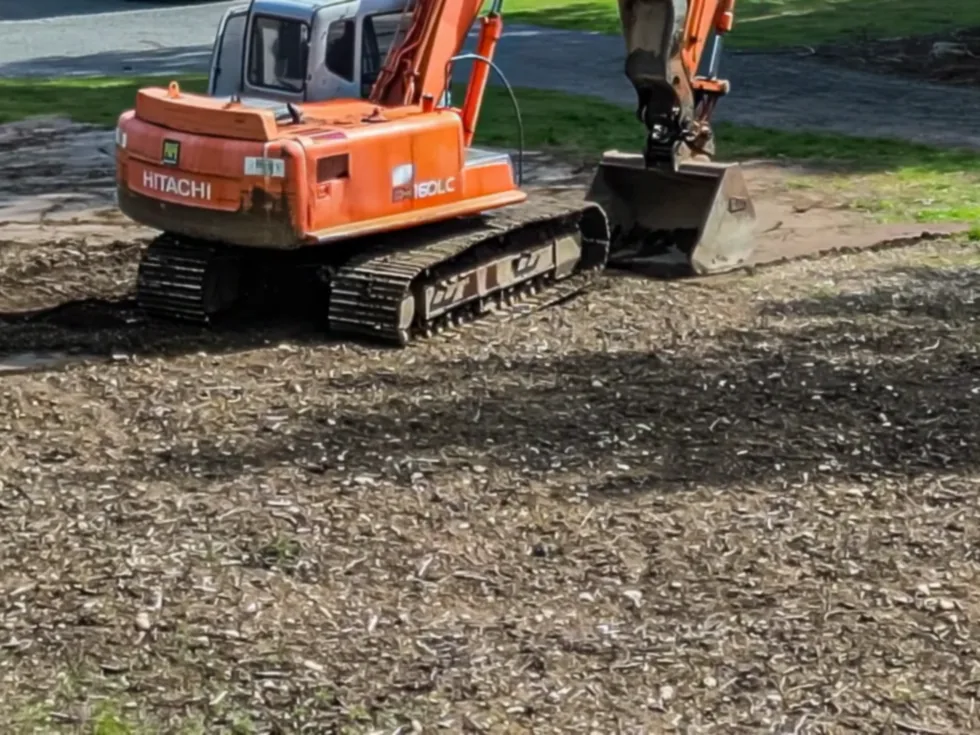
The word "cleared" hides four different levels of work, and they do not cost the same. Selective clearing removes specific trees and understorey while leaving canopy you want to keep — common on homesites where the shade is half the reason for buying the lot. Mulching in place grinds standing vegetation into a chip layer left on the ground, leaving root systems intact. Grubbing goes further and pulls stumps and root balls out. Grub-and-grade removes the root mass and then shapes the surface to drain, which is what a slab, a barn pad or a road bed actually requires.
Most disappointment in this trade comes from buying one level and expecting another. A mulched lot looks dramatic on the day and is genuinely useful for pasture, firebreaks, hunting lanes and sight lines — but you cannot pour on it, because the roots are still there and the ground will settle unevenly as they rot. Conversely, paying to grub and grade an entire twenty-acre tract when you only intend to build on two of them is money spent on ground you will never stand on. The right question at the walkover is not "how much to clear it" but "what is this ground going to have to do afterwards".
South Georgia ground: sand over limestone
Lowndes County sits in the Southern Coastal Plain, and the soils reflect it. The Tifton series — Georgia's official state soil — dominates the province, occupying more than seventy-five per cent of its lower and eastern portion, typically presenting around eleven inches of dark grayish-brown loamy sand over sandy loam. The Valdosta series, mapped in the southern part of Lowndes and neighbouring Echols County, is described by the NRCS as somewhat excessively drained with rapid permeability.
That combination is easy to dig and hard to predict. Sandy, rapidly permeable soil moves water down fast rather than across, which is why a site can look bone dry on the surface and still slump under a loaded machine. It also means sidewalls in an open cut do not hold the way clay does. Underneath, the principal artesian aquifer — a limestone of Eocene to Miocene age — is the region's main water supply, and it is solution-riddled: the U.S. Geological Survey records that the Withlacoochee River north of Valdosta contributes on the order of 112 cubic feet per second into caverns and sinkholes that recharge it. Practically, that means voids, unexpected rock and sinkhole-prone ground are real possibilities on this landscape, and that whatever leaves your site in a rainstorm has a short and direct path into drinking water.
Debris is the decision that moves the price
On most clearing jobs the single largest cost variable is not cutting — it is what happens to the material afterwards. There are broadly three routes. Mulching in place converts the vegetation to a chip layer and eliminates hauling entirely; it is usually the cheapest outcome and leaves a surface that suppresses regrowth for a season or two while it breaks down. Windrowing pushes debris into rows at the edge of the work, which is fast but permanently occupies part of the parcel. Hauling off produces the cleanest result and costs the most, because it converts a clearing job into a trucking job priced by load and distance.
Burning is a fourth route and it is the one that most often surprises people, because it is regulated rather than free. Open burning in Georgia is subject to state and local rules that vary by season and by county, and a Georgia Forestry Commission burn permit is generally required for outdoor burning of vegetative material. Anyone quoting a clearing job on the assumption that the pile will simply be lit should be able to say which permission that relies on. Ask for the debris method to appear on the written estimate as its own line rather than folded into a single per-acre number — it is the line most likely to change.
Permits, buffers and erosion control — before the first machine moves
Georgia treats clearing as a regulated activity, not a private matter. State law expressly lists clearing, dredging, grading, excavating, transporting and filling of land as land-disturbing activities, and anyone taking part in them is required to be certified under the Georgia Erosion and Sedimentation Act. The credential is the Georgia Soil and Water Conservation Commission's Level 1A certification — commonly called the "blue card" — obtained by completing an eight-hour course and passing its examination, and valid for three years.
Once a project disturbs 1.0 acre or more, a land disturbance permit is required, along with coverage under the NPDES construction general permit and an approved erosion, sedimentation and pollution control plan in place before disturbance begins. Lowndes County administers its own Soil Erosion and Sedimentation Control Ordinance and publishes technical standards and permit packages. Separately, Georgia establishes a 25-foot buffer along the banks of all state waters, measured horizontally from the point where vegetation has been wrested by normal stream flow or wave action; disturbing ground inside that buffer requires a variance from the Georgia Environmental Protection Division. These rules apply to the work regardless of who performs it. A full plain-English walkthrough is on our permits and rules page.
What a written estimate should tell you
A clearing estimate worth comparing states the acreage and where its boundaries are, the clearing level for each area, the debris method, whether stumps are included, whether any grading or shaping follows, who is responsible for the permit and the erosion control plan if the disturbance reaches an acre, and how state-waters buffers on the parcel are being handled. If two quotes differ sharply, the difference is almost always hiding in the debris line or in a different assumption about clearing level.
It is reasonable to ask any contractor you are considering — including this one — to show a current Level 1A certification and proof of insurance on the proposal before work begins, and to put the erosion control measures in writing. Those are the checks Georgia's own framework is built around, and a contractor who cannot produce them is telling you something useful.
Serving Valdosta, Lowndes County and the surrounding area
We work across Valdosta, Hahira, Lake Park, Dasher, Remerton and the unincorporated parts of Lowndes County, and into the neighbouring counties of Brooks, Echols, Lanier, Berrien and Cook. Land clearing here spans a wide range of work: residential lots inside the city, homesites and pasture on rural acreage, pine plantation cleanup after a timber harvest, firebreaks, hunting lanes and food plots, and commercial pads. Tell us the parcel and what it needs to do afterwards on the estimate form, and we will follow up with next steps.